


Emir’s Book

Copyright © 2021
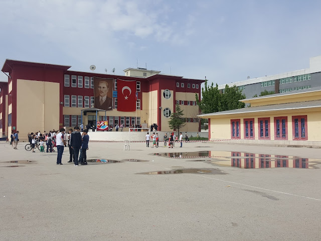
Adopting Atatürk’s principles and reforms, free thinking, mutual respect and trust, open to science and scientific studies, researching, questioning, carrying its cultural accumulations to the future. We exist to raise individuals that Turkey needs. If we can’t make it, nobody can.
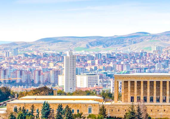
Ankara, the capital and the 2nd largest city of Turkey with a population of more than 5 million, is a student city in terms of hosting more than 20 universities. Ankara Province, which consists of 25 districts, offers a rich and vibrant city life opportunity with the activities of industrial zones, high-level bureaucracy, international institutions and non-governmental organizations and social, cultural, sportive and artistic activities that continue throughout the year.
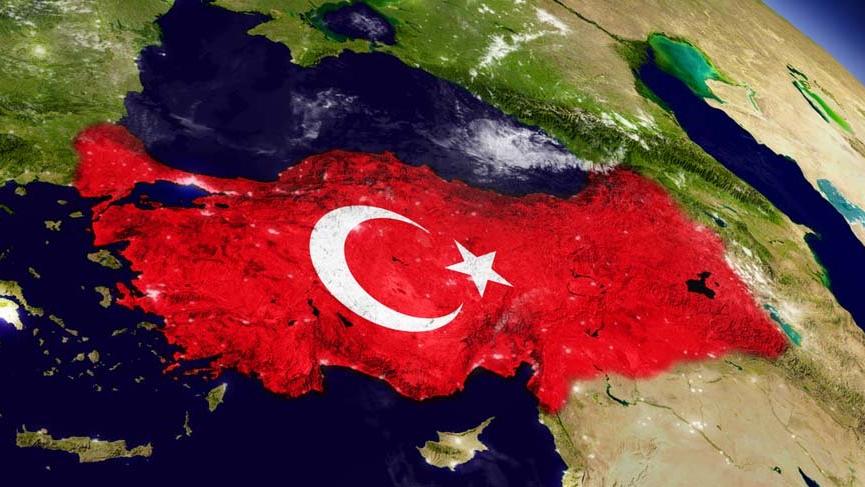
Turkey is a country surrounded by seas on three sides. There is the Mediterranean Sea in the south, the Aegean Sea in the west, the Black Sea in the north, and the Marmara Sea in the northwest, which is located within the territorial waters of Turkey, covering the Bosphorus and the Dardanelles. Turkey, officially the Republic of Turkey, is a European and Asian country bordered by Bulgaria in the northwest, Greece in the west, Armenia, Azerbaijan and Iran in the east, Georgia in the northeast, Syria in the south, and Iraq in the southeast.
Resembling a rectangle when viewed from space, the surface area of Turkey is 814,578 km² and Turkey has a larger territory than all its neighbors except Iran and all European countries except the Russian Federation.
In terms of population, Turkey (approximately 73 million) is the second largest country in Europe after Germany.
It is located between 36-42 degrees North latitude and 26-45 degrees East longitude, and there is a time difference of 76 minutes between its east and west.
Published: Dec 6, 2021
Latest Revision: Dec 6, 2021
Ourboox Unique Identifier: OB-1241340
Copyright © 2021
![]()
 Skip to content